 vesseltracker.com
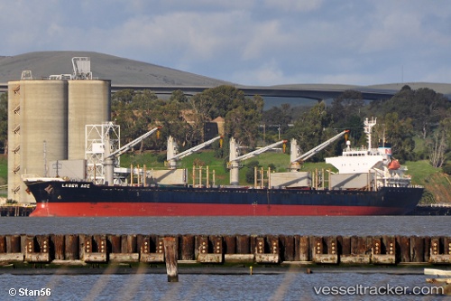
Vessel ATLANTIC ADAM IMO: 9384863, MMSI: 268235902 Bulk Carrier
UTC, 36.82361, 5.89682, course: 348, speed: 0
UTC, 36.82361, 5.89683, course: 348, speed: 0
2026-03-03 15:45:22 UTC, 36.82363, 5.89681, course: 348, speed: 0
Live AIS position:
UTC. Near DJEN DJEN),
updated 2026-03-03 15:45:22 UTC.
Find the position of the vessel ATLANTIC ADAM on the map. The latter are known coordinates and path.
marine traffic ship tracker show on live map
The current position of vessel ATLANTIC ADAM is 36.82363 lat / 5.89681 lng. Updated: 2026-03-03 15:45:22 UTCCurrently sailing under the flag of San Marino
Details:
Last coordinates of the vessel:
UTC, 36.82362, 5.89682, course: 348, speed: 0UTC, 36.82361, 5.89682, course: 348, speed: 0
UTC, 36.82361, 5.89683, course: 348, speed: 0
2026-03-03 15:45:22 UTC, 36.82363, 5.89681, course: 348, speed: 0